 Peak climbing
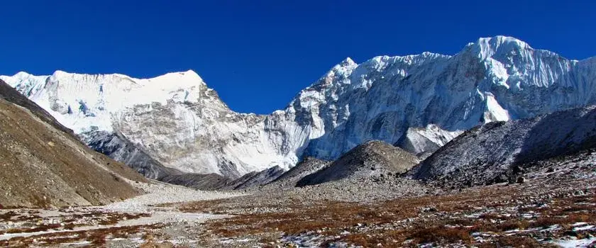
Baruntse Expedition
Plan a Baruntse expedition with the original mountain programme and support arrangements in the Himalayas.
AdventureGuide USD 39,999
Peak climbing / Nepal
An expedition programme for Makalu, with the approach, mountain logistics and support arrangements outlined for planning.
THE EXPERIENCE
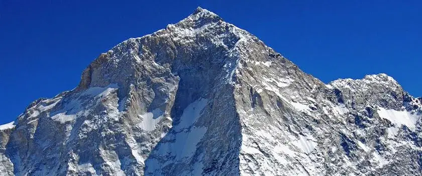
Makalu Expedition is the world’s fifth highest peak. Its height is 27,765 feet from the sea level. This beautiful mountain lies in the 14 miles east of Everest in the Khumbu region. The size of this splendid mountain is gorgeous and its pyramid-like structure with sharp four ridges has made it more spectacular. This peak is indeed a double peak. The subsidiary peak stands just north of the main summit which is linked by a saddle named Chomolonzo. The ridge of the summit has drawn the demarcation line indicating the border between Nepal and Tibet.
The name of this mountain is probably taken from a Sanskrit word Mahakala which means a Shiva, one of the gods of Hindu religion. Shiva is sometimes an evil, cruel destroyer and other times he is apt to be gentle and kind-hearted. This mountain is also called Kumba Karna in a local dialect. It means the giant in fact.
Before its first ascent in 1955, several expedition teams studied and admired this peak. Nevertheless, it was not attempted until the first ascent of Mt. Everest in 1954. Other giant peaks in the Khumbu region were also not attempted until that time.
Mt. Makalu Expedition West Face
For climbing, this route is said to be very dangerous and risky. Five attempts were made before the successful climbing of this mountain. In fact, they succeed in the 5th attempt.
The Russian team led by Sergey Efimov climbed this summit successful first time in 1997. They climbed it through the west face. They had climbed this peak through the most difficult route. The ending part of the route goes towards Paragon ridge. Alexei Bolotov, Yuri Ermachek, Dmitri Pavlenko, Igor Bugachevski and Nikolai Jiline climbed Mt. Makalu and thus they were rewarded by the award “Gold ice axe.”
The routes are 4 parts :
From the base camp of the west face, the button part starts and then we continue the climbing through the hanging ice fall at the height of 6100m to the right side of the icefall. The second part broadens from the plateau above the icefall along the 35 to 45 elevation. The next section consists of ice rock walls in the 50 to 55 degree steep and that extends in the height of 7400m’ height. The final section begins with the 70 to 75-degree elevation rock pillar. The pillar leads the west ridge at the height of 8000m and up to the top of the summit.
We fix the typical ropes from 5800m to 6100m and from 6500m to 7500m. You see the camp established by the Russian expedition in the following location.
The French Route on the West Pillar is an aesthetically stunning line that has been seldom attempted. It is an exceedingly difficult, a very steep pillar that was first successfully ascended in 1971. The crux of the line comes at approximately 7,600m in the area of the Seignior Wall.
The first US team to the summit was in 1980, they submit via this West Pillar Route. The team was made up of Jim States, John Roskelley, Kim Momb and Chris Kopczynski. The summit 2 members of the team and put 2 members within 150 feet. They summit without the use of oxygen or Sherpa support.
Highlight sights of Makalu Expedition :
Everest 8848m, Lhotse 8516m, Makalu I 8463m, Makalu II 7660m, Peak 38- 7591m, Pumori, Lhotse Shar 8410m, Barunste 7145m, Chamlan 7319m, Kanchenjunga 8586m, Jannu Himal 7710m and More attractive snow-capped peaks etc.
ONE DAY AT A TIME
A guide to the days ahead. Your team will confirm the route, pace and arrangements with your written itinerary. Mountain weather and local conditions can change the plan.
AM : Guided visit of Kathmandu City and Swayambhunath.
PM : Guided visit of Boudhanath Stupa and Pashupatinath
These details come from the existing itinerary and are subject to confirmation in your written quote. Review our booking terms before making a commitment.
KEEP YOUR OPTIONS OPEN
Peak climbingPlan a Baruntse expedition with the original mountain programme and support arrangements in the Himalayas.
 Peak climbing
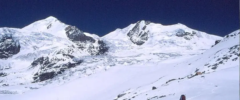
Explore the Chulu climbing programme in the Annapurna region, with trekking and expedition arrangements for the journey.
 Peak climbing
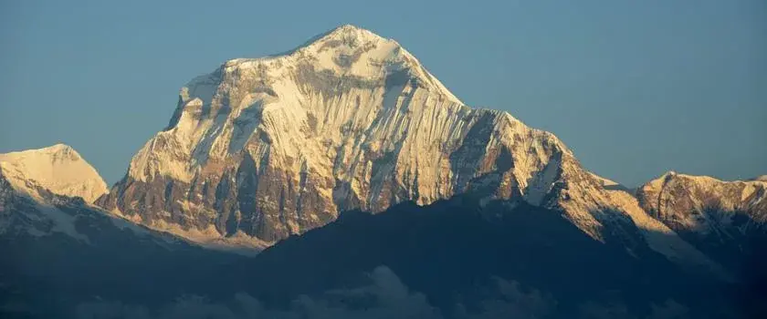
Explore the Dhaulagiri expedition programme, including the approach and support arrangements for a Himalayan climbing journey.